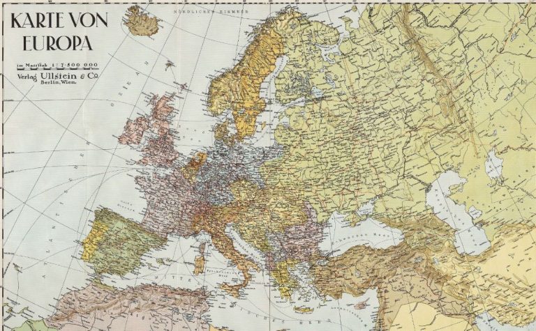
Deze zip-file bevat zes datalagen met indicatoren van landschapswaardering aan de hand van concentraties van social media content. Er is gebruik gemaakt van content van Panoramio, Flickr en Instagram van Europa. Met deze data kwantificeren we niet-stedelijke buitenrecreatie en locatiegerelateerde esthetische waardering op Europese schaal.
De datanamen bevatten ofwel 1k of 5k. Dit staat respectievelijk voor grid cellen van 1 x 1 km of 5 x 5 km.
– Environmental Geography Group, Faculty of Earth and Life Sciences, VU University Amsterdam, The Netherlands
– Center for Geospatial Analytics, College of Natural Resources, North -Carolina State University, Raleigh
– Department of Environment and Society, Utah State University, Logan
– Institute of Outdoor Recreation and Tourism, Utah State University, Logan
Boris T. van Zanten
VU Amsterdam
Derek B. Van Berkel
Carolina State University
Ross K. Meentemeyer
Carolina State University
Jordan W. Smith
Utah State University
Koen F. Tieskens
VU Amsterdam
Peter H. Verburg
VU Amsterdam
The maps are in the Albers equal area conic projection (WGS 1972) with a resolution of 1×1 km and 5×5 km. The data are provided in ESRI GRID format and ArcGIS is used for the data preperation and analysis.
- Panoramio 1x1km resolution (Pano_1k): the count of photos per unit area in the EU-27 excluding Malta (2006-2015)
- Panoramio 5x5km resolution (Pano_5k_m): the count of photos per unit area in non-urban areas in the EU-27 excluding Malta (2006-2015)
- Flickr 1x1km resolution (Flickr_1k): the count of photos per unit area in the EU-27 excluding Malta (2004-2015)
- Flickr 5x5km resolution (Flickr_5k_m): the count of photos per unit area in non-urban areas in the EU-27 excluding Malta (2004-2015)
- Instagram 1x1km resolution (Insta_1k): the count of photos per unit area in the EU-27 excluding Malta (2014-2015)
- Instagram 5x5km resolution (Insta_5k_m): the count of photos per unit area in non-urban areas in the EU-27 excluding Malta (2015).
Bij gebruik van de data refereert u naar:
Boris T. van Zanten, Derek B Van Berkel , Ross K Meentemeyer , Jordan W Smith , Koen F. Tieskens , Peter H Verburg (2016) Continental scale quantification of landscape values using social media data. Proceedings of the National Academy of Sciences USA
https://doi.org/10.1073/pnas.1614158113